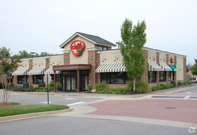
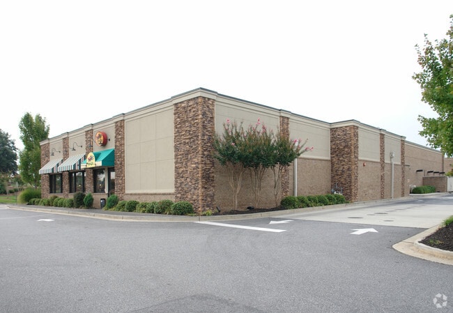
Property Record
11720 Medlock Bridge Rd, Duluth, GA 30097

NEARBY LISTINGS FOR SALE OR LEASE
Property Detail
11720 Medlock Bridge Rd
11-0980-0377-017-0
Alta/Acsm Land Title Surv Inla
Regionalshoppingcenterormallwithanchorstore
Fulton
X
Georgia
13121C0083F
376
2024
17.29 AC
2025
Gwinnett Mall/Duluth
011631
Atlanta
343,180 SF
Atlanta-Sandy Springs-Roswell, GA
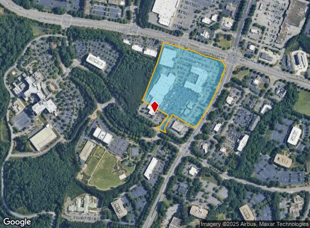
DEMOGRAPHICS near 11720 Medlock Bridge Rd
1 Mile
3 Mile
5 Mile
2024 Total Population
6,363
71,219
183,176
2029 Population
6,906
75,961
195,822
Pop Growth 2024-2029
+ 8.53%
+ 6.66%
+ 6.90%
Average Age
41
39
39
2024 Total Households
2,165
22,801
61,203
HH Growth 2024-2029
+ 8.36%
+ 6.63%
+ 6.91%
Median Household Inc
$129,401
$155,678
$137,843
Avg Household Size
2.90
3.10
2.90
2024 Avg HH Vehicles
2.00
2.00
2.00
Median Home Value
$594,054
$498,550
$481,734
Median Year Built
2001
1996
1997
Nearby Places
Map Layers
Map Styles
 Street
 Aerial
- Restaurants
- Banks
- Shops
- Fitness
- Groceries
Nearby Properties
Address
Land Use
TOTAL SIZE
Lot Size
Zoning
Address
Land Use
TOTAL SIZE
Lot Size
Zoning
321,541 SF
63.16 AC
OI
Address
Land Use
TOTAL SIZE
Lot Size
Zoning
2,044,910 SF
30.61 AC
CUP
Address
Land Use
TOTAL SIZE
Lot Size
Zoning
489,097 SF
34 AC
R3
Address
Land Use
TOTAL SIZE
Lot Size
Zoning
559,910 SF
74.65 AC
Address
Land Use
TOTAL SIZE
Lot Size
Zoning
299,952 SF
23.49 AC
MIAC
Address
Land Use
TOTAL SIZE
Lot Size
Zoning
321,116 SF
17.06 AC
CBD
Address
Land Use
TOTAL SIZE
Lot Size
Zoning
47,721 SF
12.99 AC
CBD
Address
Land Use
TOTAL SIZE
Lot Size
Zoning
244,177 SF
8.96 AC
MIXU
Address
Land Use
TOTAL SIZE
Lot Size
Zoning
37.26 AC
TRC
Address
Land Use
TOTAL SIZE
Lot Size
Zoning
214,626 SF
6.29 AC
Address
Land Use
TOTAL SIZE
Lot Size
Zoning
629,088 SF
19.23 AC
CUP
Address
Land Use
TOTAL SIZE
Lot Size
Zoning
1,650 SF
74.37 AC
AG1
Address
Land Use
TOTAL SIZE
Lot Size
Zoning
289,676 SF
4.03 AC
C1
Address
Land Use
TOTAL SIZE
Lot Size
Zoning
163,592 SF
17.60 AC
OI
Address
Land Use
TOTAL SIZE
Lot Size
Zoning
1,845 SF
56.22 AC
AG1
Address
Land Use
TOTAL SIZE
Lot Size
Zoning
107,255 SF
6.12 AC
OI
Address
Land Use
TOTAL SIZE
Lot Size
Zoning
133,800 SF
5.20 AC
C1
Address
Land Use
TOTAL SIZE
Lot Size
Zoning
21.36 AC
MIXU
Address
Land Use
TOTAL SIZE
Lot Size
Zoning
91,296 SF
12.76 AC
CBD
Address
Land Use
TOTAL SIZE
Lot Size
Zoning
14,880 SF
16.51 AC
CBD
Address
Land Use
TOTAL SIZE
Lot Size
Zoning
102,784 SF
9.16 AC
MIAC
Address
Land Use
TOTAL SIZE
Lot Size
Zoning
45,603 SF
8.36 AC
CBD
Address
Land Use
TOTAL SIZE
Lot Size
Zoning
126,793 SF
10.78 AC
M1
Address
Land Use
TOTAL SIZE
Lot Size
Zoning
117,036 SF
13.62 AC
CBD
Address
Land Use
TOTAL SIZE
Lot Size
Zoning
73,022 SF
6.57 AC
CBD
Address
Land Use
TOTAL SIZE
Lot Size
Zoning
1,436 SF
22.93 AC
AG1
Address
Land Use
TOTAL SIZE
Lot Size
Zoning
88,288 SF
7.76 AC
C1
Address
Land Use
TOTAL SIZE
Lot Size
Zoning
126,920 SF
12.25 AC
M1
Address
Land Use
TOTAL SIZE
Lot Size
Zoning
131.01 AC
AG1
The World's #1 Commercial Real Estate Marketplace
Connect with us
© 2026 CoStar Group
The information above has been obtained from sources believed reliable. While we do not doubt its accuracy we have not verified it and make no guarantee, warranty or representation about it. It is your responsibility to independently confirm its accuracy and completeness. Any projections, opinions, assumptions, or estimates used are for example only and do not represent the current or future performance of the property. The value of this transaction to you depends on tax and other factors which should be evaluated by your tax, financial, and legal advisors. You and your advisors should conduct a careful, independent investigation of the property to determine to your satisfaction the suitability of the property for your needs.